An innovation hub delivering precise, high quality geospatial outputs through drone-based services, driven by innovative approaches, technical excellence, and client priorities.
Geovation Nepal
Geovation Nepal is a geospatial innovation hub specializing in drone-based surveying, mapping, and spatial intelligence services. Established in January 2021 and formally registered on 1 June 2021 as a Surveying and GIS Mapping Consulting Company, Geovation harnesses cutting-edge drone and geospatial technologies to capture precise, high-quality location data for diverse applications.
A pioneer in the use of long-range drones for city-scale and large-area geo-data collection in Nepal, Geovation delivers accurate, efficient, and reliable geospatial outputs that support informed decision-making across infrastructure, environment, agriculture, energy, disaster risk reduction, and tourism sectors.
Our Services
Geovation Nepal is renowned for reliable, timely project delivery and strong ethics. We offer innovative, efficient, and cost-effective solutions that meet the highest quality standards.
End-to-End Drone Consulting & Solutions
Complete drone project delivery covering regulatory permissions, mission planning, data acquisition, processing, analysis, and decision-ready outputs.
Spatial Data Analysis & GIS Mapping
Advanced GIS analysis and spatial mapping transforming raw drone data into actionable insights, visualizations, and decision-support products.
Inspection & Monitoring
Drone-enabled inspection and monitoring of infrastructure, construction, and natural assets, delivering timely, accurate assessments with reduced risk and cost.
Thermal & Multispectral Imaging
Drone-based thermal and multispectral imaging for diagnostics of energy systems, buildings, agriculture, and environmental conditions to support informed decisions.
Drone-Based Spraying & Spreading
Precision drone spraying and spreading services for agriculture, enabling efficient application of seeds, fertilizers, and treatments with reduced environmental impact.
Drone Training & Capacity Building
Comprehensive drone training programs covering UAV operations, data processing, GIS, and safety to build skilled teams and sustainable local capacity.
Technologies
Geovation Nepal employs advanced UAVs, LiDAR, GIS, and AI analytics for precise surveying, mapping, environmental monitoring, and drone delivery, offering reliable and scalable solutions across sectors.
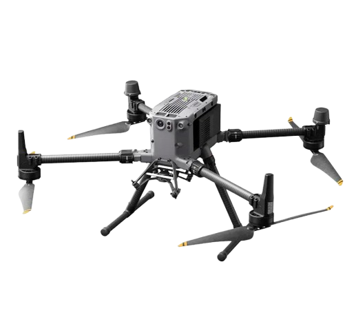
DJI Matrice 350 RTK
LiDAR surveying, Survellience and Inspection
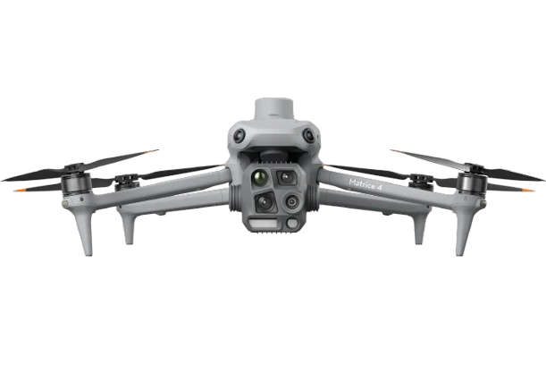
DJI Matrice 4T
Thermal Sensing for Conservation & Rescue Operations
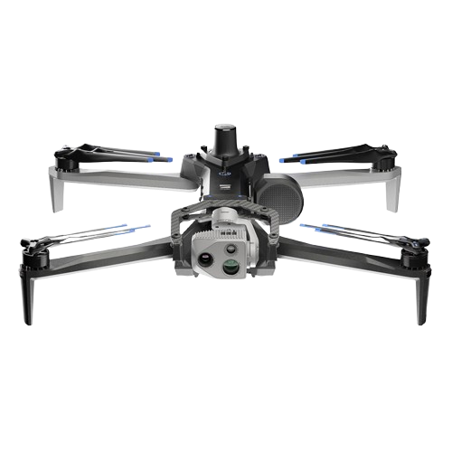
Skydio 2
3D modelling
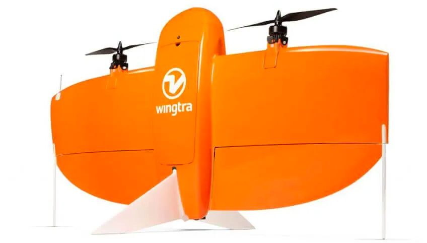
Wingtra One Gen II
Large Scale Mapping (10-20 sq. Km/day)
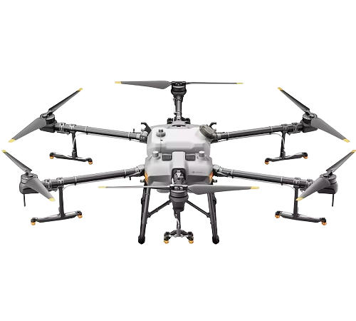
DJI Agras T30
Agricultural Spraying and Spreading
PRODUCTIVE HOURS
An innovation hub that delivers efficient, drone-based services aligned with sustainable development goals, prioritizing innovative solutions and client needs.
Clients
0 +
District Covered
0 +
Projects
0 +
Drone Flight Hours
0 +
Leaflet District Map with Tooltips
Get Connected With Us
Connect With Us
Connect With Us
Follow us on social media to stay updated with the latest news and updates.