Drone Survey and Mapping; Janakpur Sub-Metro
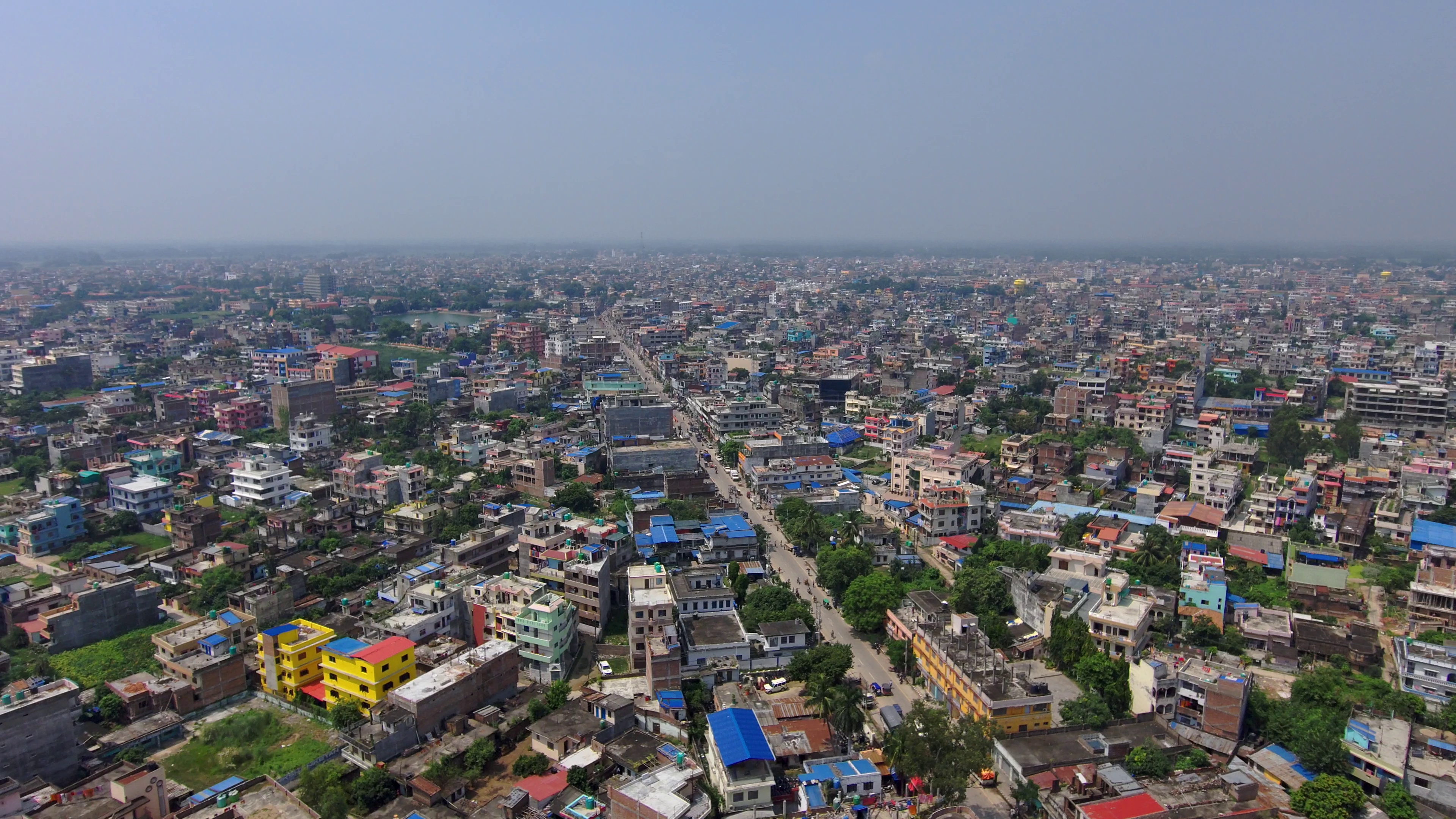
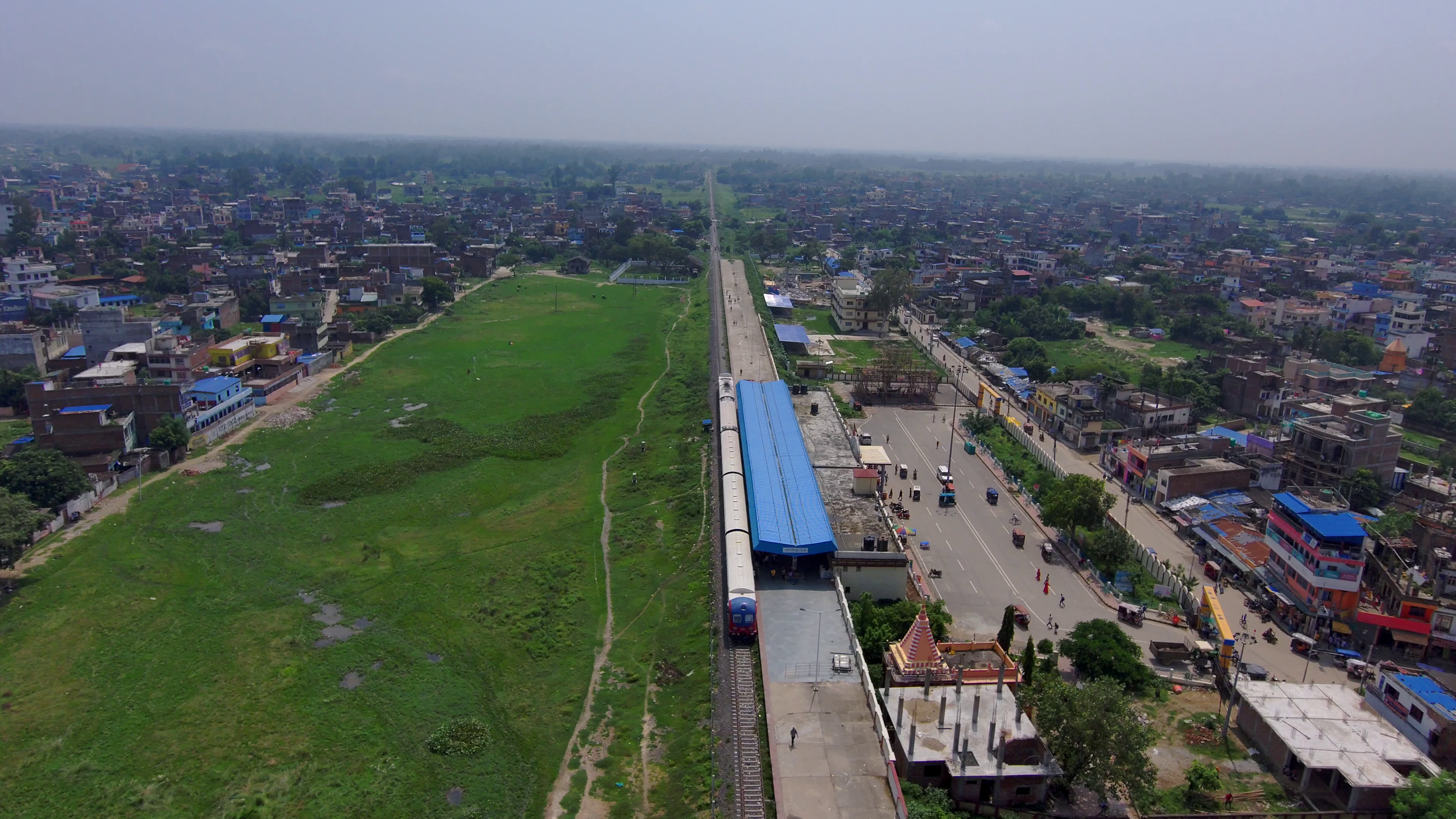
Nepal, renowned for its diverse landscapes and unique geographical features, offers a multitude of opportunities and challenges for geospatial analysis. As a drone-focused geospatial service provider based in Nepal, Geovation Nepal recently completed a remarkable drone survey covering the entire Janakpur sub-metropolitan city, an expansive area of over 90 square kilometers. This significant endeavor was made possible through the utilization of cutting-edge technology, specifically the Wingtra One Gen II drone equipped with a high-resolution mapping camera.
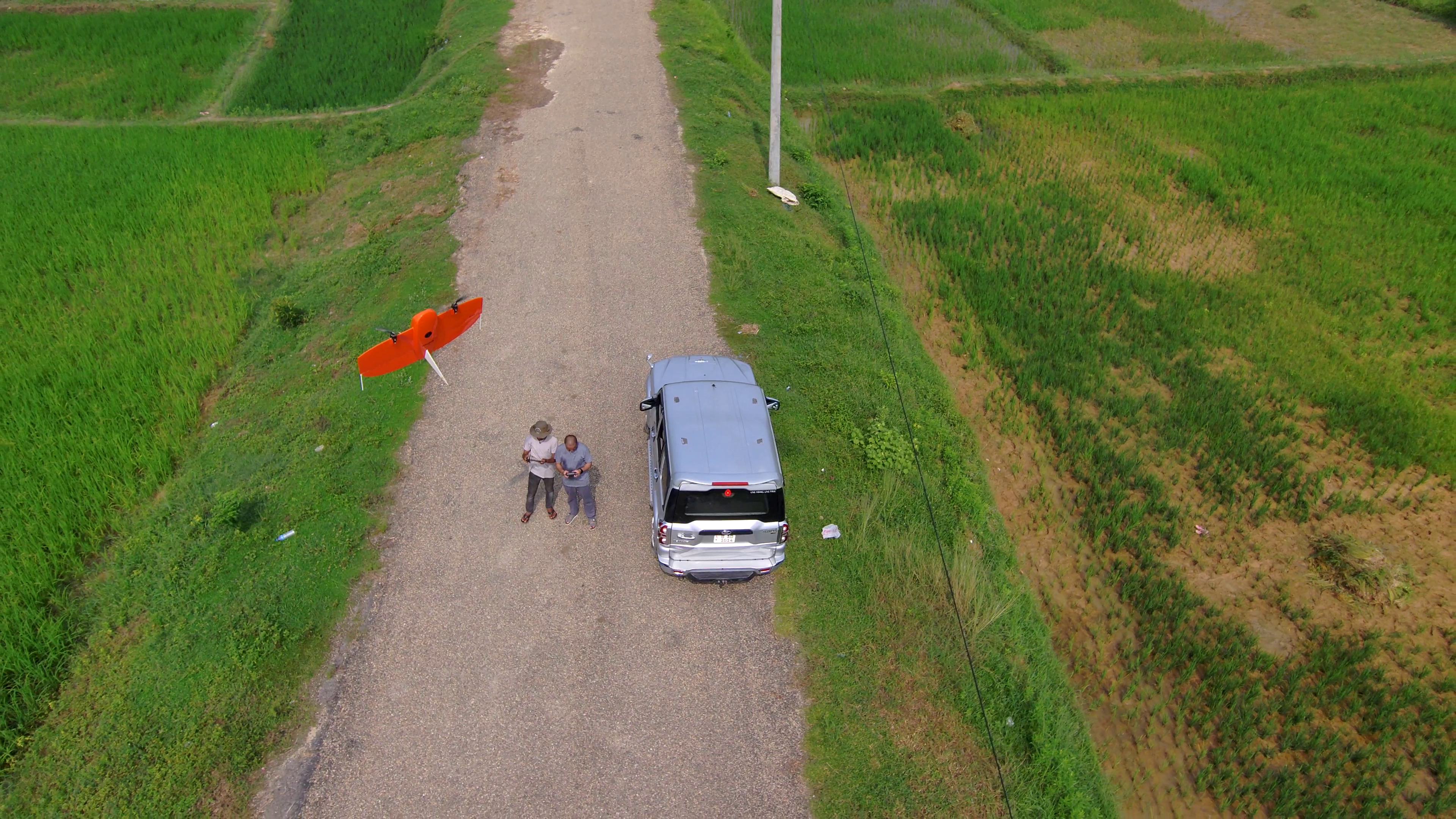
Our Hardware: Wingtra One Gen II
The selection of the Wingtra One Gen II, a state-of-the-art drone equipped with a high-resolution mapping camera, proved to be instrumental in achieving the survey objectives swiftly and accurately. The advanced capabilities of this drone allowed us to cover an extensive area in significantly less time while ensuring the necessary precision and detail. This technology enabled us to efficiently manage the survey despite the sheer scale and expanse of the region.
Overcoming Challenges
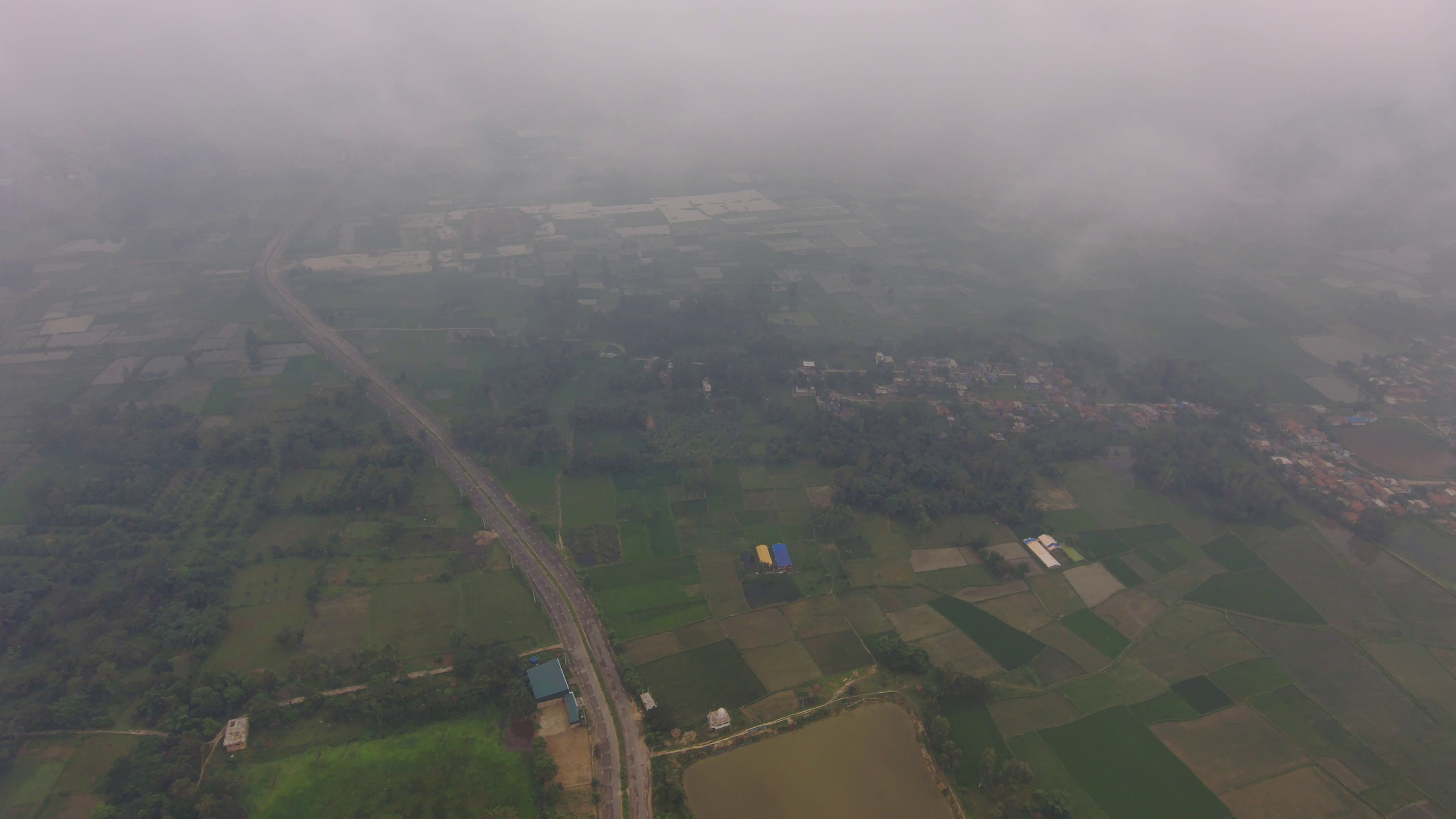
Conducting a drone survey over an area as vast as Janakpur, while not particularly challenging in terms of topography, presented logistical hurdles. The sheer size of the area, coupled with the need to navigate through restricted airspace due to the proximity of an airport, demanded meticulous planning and coordination. Additionally, ensuring optimal drone operations amidst the region’s relatively hot temperatures required careful attention and adaptation.
However, Geovation Nepal rose to the occasion, leveraging its expertise and dedicated resources. Our team of skilled professionals demonstrated resilience and proficiency in managing and mitigating the challenges encountered during the survey. The successful completion of the survey within the stipulated timeframe stands as a testament to our commitment to delivering on our promises.
Leveraging Drone Technology for Greater Impact
The extensive imagery and data collected during the survey are pivotal in generating valuable geospatial products. These products, currently under development, will serve as essential tools for urban planning, land management, infrastructure planning, and disaster preparedness within the surveyed area. This highlights the true potential and impact of drone technology in augmenting the understanding and development of the area while sustainably managing its available resources.

Choose Geovation Nepal for Your Aerial Imaging Needs
At Geovation Nepal, we are dedicated to providing efficient and accurate geospatial solutions tailored to your needs. If you require aerial imaging services for your projects, be it land surveying, infrastructure planning, environment and agriculture monitoring, or any other application, we have the expertise and technology to deliver the required results.
Contact us today and let us help you achieve your geospatial objectives with precision and efficiency. Together, we can revolutionize the way we perceive and utilize geographical data, ultimately contributing to a more informed and sustainable future.