Multi-Theme Trainings at Geovation Nepal
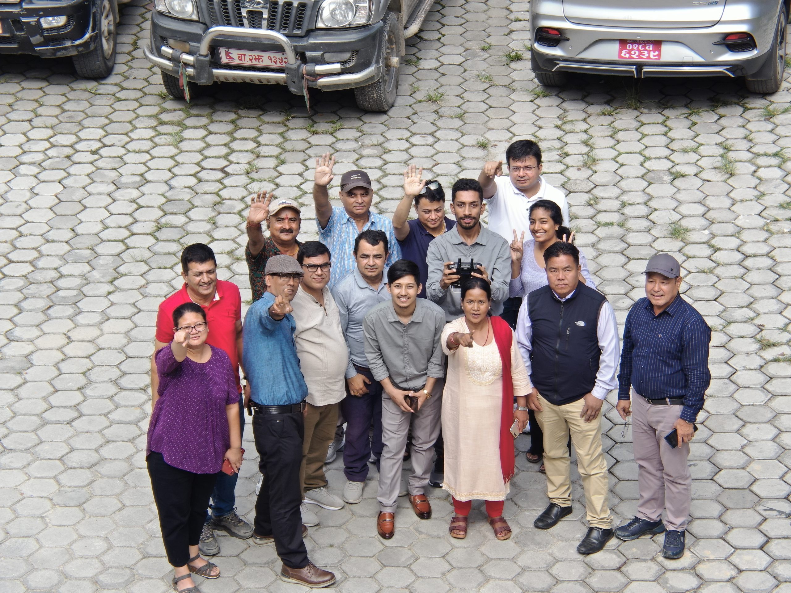
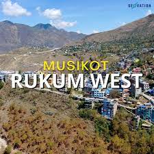
Over the past few years of establishment, Geovation Nepal has achieved several milestones in accomplishing multiple surveying and mapping projects, alongside delivering multiple training programs in collaboration with prestigious and esteemed organizations from both government and non-government sectors including Nepal police ADB, WRRDC, Surya Nepal and NAXA. Similarly, during the second week of this August, we at Geovation Nepal got an overwhelming opportunity to organize training for DCRL (Developing Climate Resilient Livelihood in a vulnerable watershed in Nepal)/UNDP on the theme “Drone Application and GIS based Image Processing in Integrated Watershed Management (IWM)”. DCRL has a major focus on safeguarding vulnerable communities and their assets from climate change-induced disasters by applying a long-term, multi-hazard approach with a particular stewardship role for women and marginalized communities.DCRL has been actively conducting projects related related to IWM. Basically, Integrated Watershed Management (IWM) is a holistic and integrated approach for sustainable management of a watershed area. This particular workshop was organized for senior personnel of the DCRL/UNDP in Dhulikhel resort for five days from August 10-15. Afew months back, a Geovation Nepal team conducted a drones for Agriculture pilot study over a rice field at Belbari, Biratnagar. The team captured high resolution multispectral images of the rice field and processed those images to generate plant health maps and also carried out estimation of crop yields using GIS. While this endeavor was conducted as a pilot study, it ushered in new possibilities for both research as well as training in a new domain such as Agriculture.Furthermore, at present, the technical team at Geovation Nepal is leading all field based work and conducting drone operations to support the field based household numbering in Janakpurdham Sub Metropolitan city. Different applications of drone technology as mentioned above underscores the growing demand for drones across various sectors, driven by an increasing awareness among individuals and organizations regarding regarding the significance of moden geospatial tools and technologies in diverse aspects of development.
Development becomes magical when the people are educated and trained well. So, conceiving this fact and considering the increased attraction of people towards drones, Geovation Nepal has designed several training courses for drone enthusiasts. The main aim behind designing these courses is to train our immediate and future generations on the importance and application of modern geospatial tools and technologies. Generally, Geovation Nepal does ground based as well as drone-based aerial based surveying on different themes. The thematic areas of drone based aerial-training are as described below:
Disaster Management: Drone technology is revolutionizing disaster management by providing rapid, accurate, and cost-effective data collection capabilities. The training program on this theme empowers individuals and organizations to harness the potential of drones in mitigating risks and improving the risk efforts. Drones equipped with various sensors and cameras can rapidly collect crucial aerial data, allowing for more efficient disaster assessment, risk analysis, and response coordination. 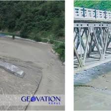 This training prgram is designed to equip participants with the skills and knowledge required to effectively conduct drone-based aerial surveys for disaster management purposes. Participants will gain hands-on experience in planning, executing, and analyzing drone missions for disaster assessment and response.
Agriculture and Environment conservation: There has been increasing use cases of drones in agriculture and environment conservation. So, training course related to this theme empowers participants with the essential knowledge and practical skills required to leverage drone technology effectively in the fields of agriculture and environmental conservation. 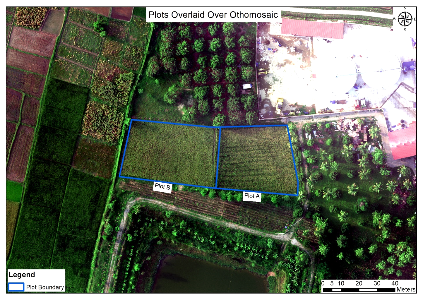 Over the course of this immersive training, participants will delve into the world of drone technology, from understanding drone components and regulations to mastering mission planning and data collection techniques. Through case studies and practical exercises, we explore applications in crop health assessment, environmental mapping, and monitoring.
Drone photo and videography: Drone technology has been seamlessly integrated into photo and videography, these days. So, one of trainings course is specialized for drone photo and videography. At the end of this course, students learn not only the technical aspects of operating drones but also the art of composition, framing, and storytelling from elevated viewpoints. 
 As part of their curriculum, students develop proficiency in post-production techniques, ensuring they can refine and enhance their captured content. Whether focusing on cinematic storytelling or specialized applications like mapping, drone training equips individuals with a diverse skill set that can be tailored to various industries.
Image processing: Training course in the use of drone image processing equips individuals with the knowledge and practical skills essential for harnessing the power of drone-captured data. This structured curriculum begins with an introduction to drone technology, including operation and regulations, and progresses into the intricacies of data collection, preprocessing, and enhancement. 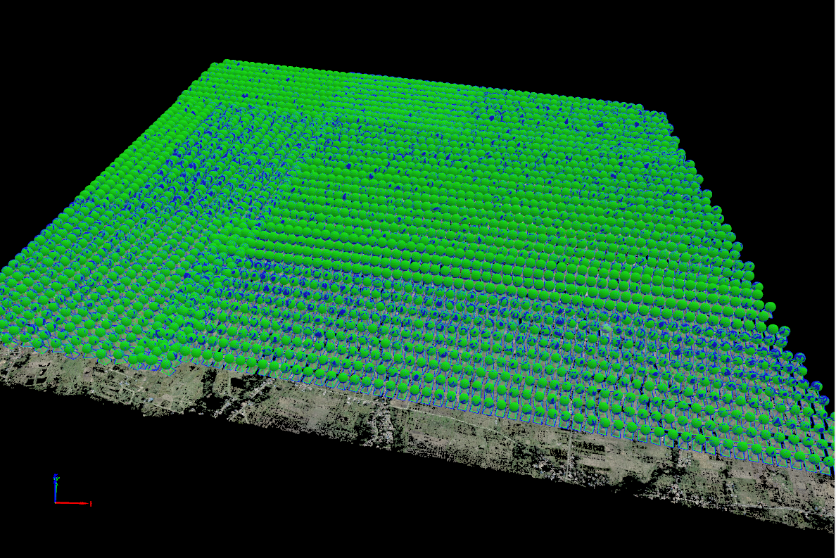 Participants learn to wield specialized image processing software and programming languages, enabling them to manipulate and analyze aerial imagery effectively. The training extends into geospatial analysis, machine learning integration and 3D modeling, enabling graduates to tackle diverse applications in fields such as agriculture, environmental science, and infrastructure inspection.
Map making and analysis with GIS: The training course on GIS map making empowers individuals with the tools and knowledge to effectively harness the power of spatial data. This course covers a wide range topics, from fundamental GIS concepts to advanced spatial analysis techniques. Participants learn to collect, manage, visualize, and analyze geospatial data, enabling them to create informative and visually compelling maps. 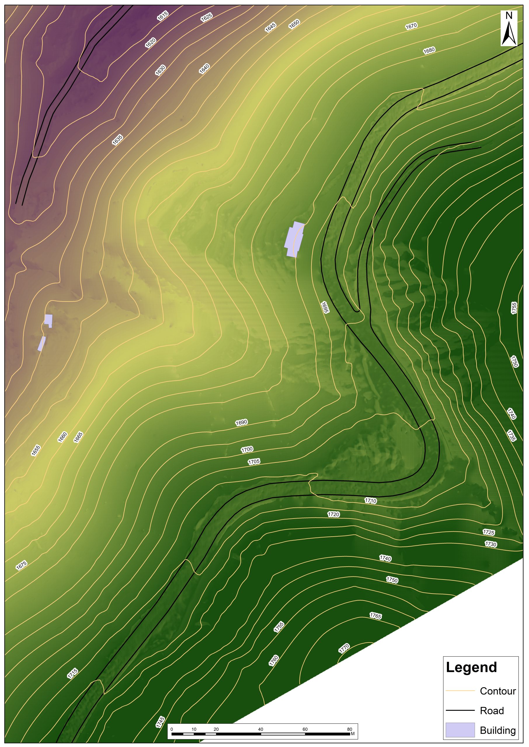 With a focus on practical applications, students engage in real-world projects that span fields such as urban planning, agriculture/environmental management, and disaster response. Ultimately, GIS training equips individuals with the skills necessary to excel in a variety of professions where spatial analysis and mapping play a crucial role, from urban planning to natural resource management.
All in all, Geovation Nepal intends to disseminate GIS and drone knowledge and their application in diverse fields of development. Moreover, there are still the domains to explore and expand the applicability of geospatial tools and technologies in Nepal.