Portfolio Type: Agriculture
Portfolio
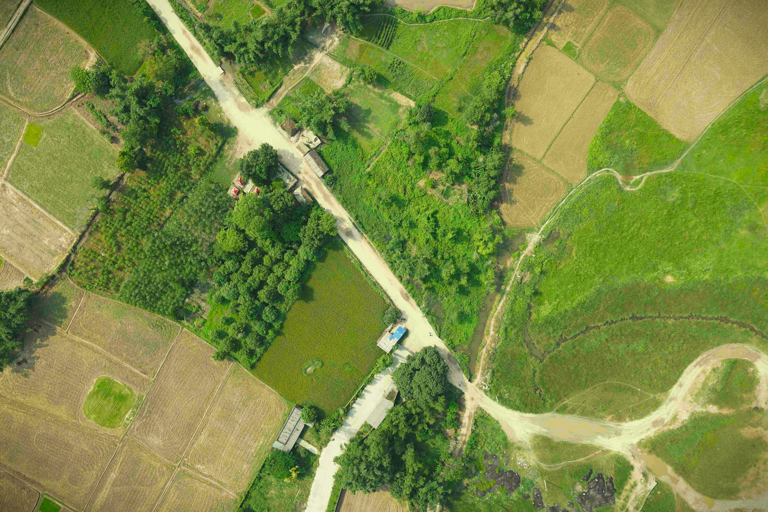
Drone based irrigation survey in Simara
The drone based aerial survey was carried out to analyze the present condition of the irrigation network and further expand the irrigation network based on the generated orthomosaic and elevation models, to make water available for all agricultural lands within the project area.
Portfolio
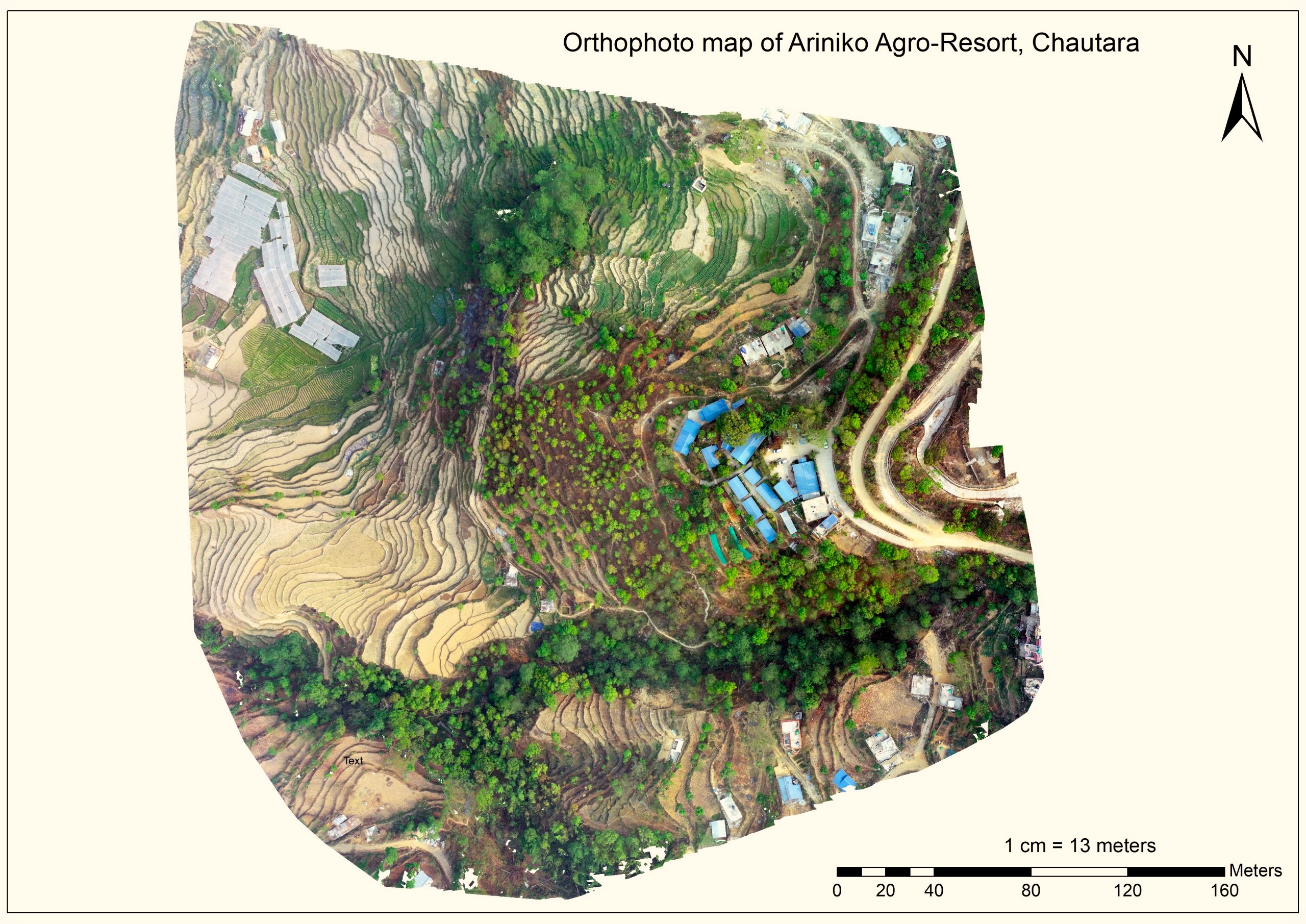
Agro-Farm – Drone-Based Topographical Survey
The team from Geovation Nepal carried out an drone based aerial survey for acquiring high resolution aerial imageries. These images were further used to generate 3D model to visualize topography, orthomosaic and digital elevation models to extract features. These extracted features were further used to create a topographical map of the proposed site. The topographic map has the contours of 50cm. Further, the features were transferred in CAD compatible formats for design and construction of agrofarm.