Portfolio Type: DRRM
Portfolio
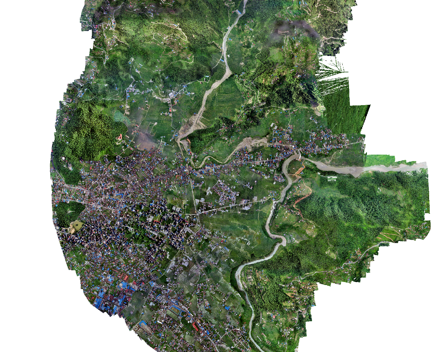
Pokhara: Drone-Based Aerial Survey for Flood Manag
Flooding has been a problem for residents near Kamalpokhari located in Ward no 13 of Pokhara for several years. The concerned authorities needed geospatial data to investigate the causes of flooding and to develop prevention strategies. The team from Geovation Nepal conducted drone based aerial surveys to collect high resolution images. The captured high resolution images were used to generate an orthomosaic and Digital Elevation Model. These generated outputs will be used to create new plans to prevent the flood that occurs during monsoon season near Kamalpokhari lake in Pokhara metropolitan city.
Portfolio
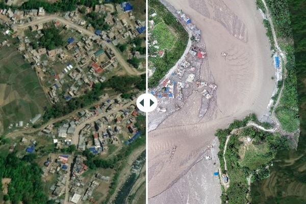
Rapid damage assessment of Melamchi Flood
The occurrences of natural hazards are inevitable in the Nepal Himalaya due to active tectonics and strong monsoon. These hazards are turned into disasters claiming lives and destroying properties. The Melamchi Flood is one the recent extreme disasters that occurred in the late night of June 15. The debris flow hit the Melamchi Bazaar and destroyed a number of houses, infrastructure along the road corridor. This debris flood partly destroyed the Headworks of the Melamchi Water supply project.
Immediately after the Melamchi Flood, Sinchupalchowk, our team of drone pilots and Disaster Risk Reduction and Management (DRRM) experts were deployed to the flooding area to obtain first-hand situational ground information for rapid visual damage assessment. On the following day, our team moved to conduct an aerial inspection particularly in the headworks area. Complying with the Standard Operation Procedures (SOPs), National Drone Operational Guidelines and the Humanitarian Unmanned Aerial Vehicle (UAV) Code of Conduct, flight missions were planned as the team prepared for the field. The team took off from Amathang, a nearby settlement 2 km from the headworks area, capturing high resolution images of the catastrophe. Further, deskwork was carried out to generate the required for the project. Click here to view our story map
Portfolio
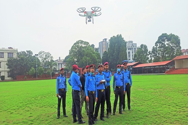
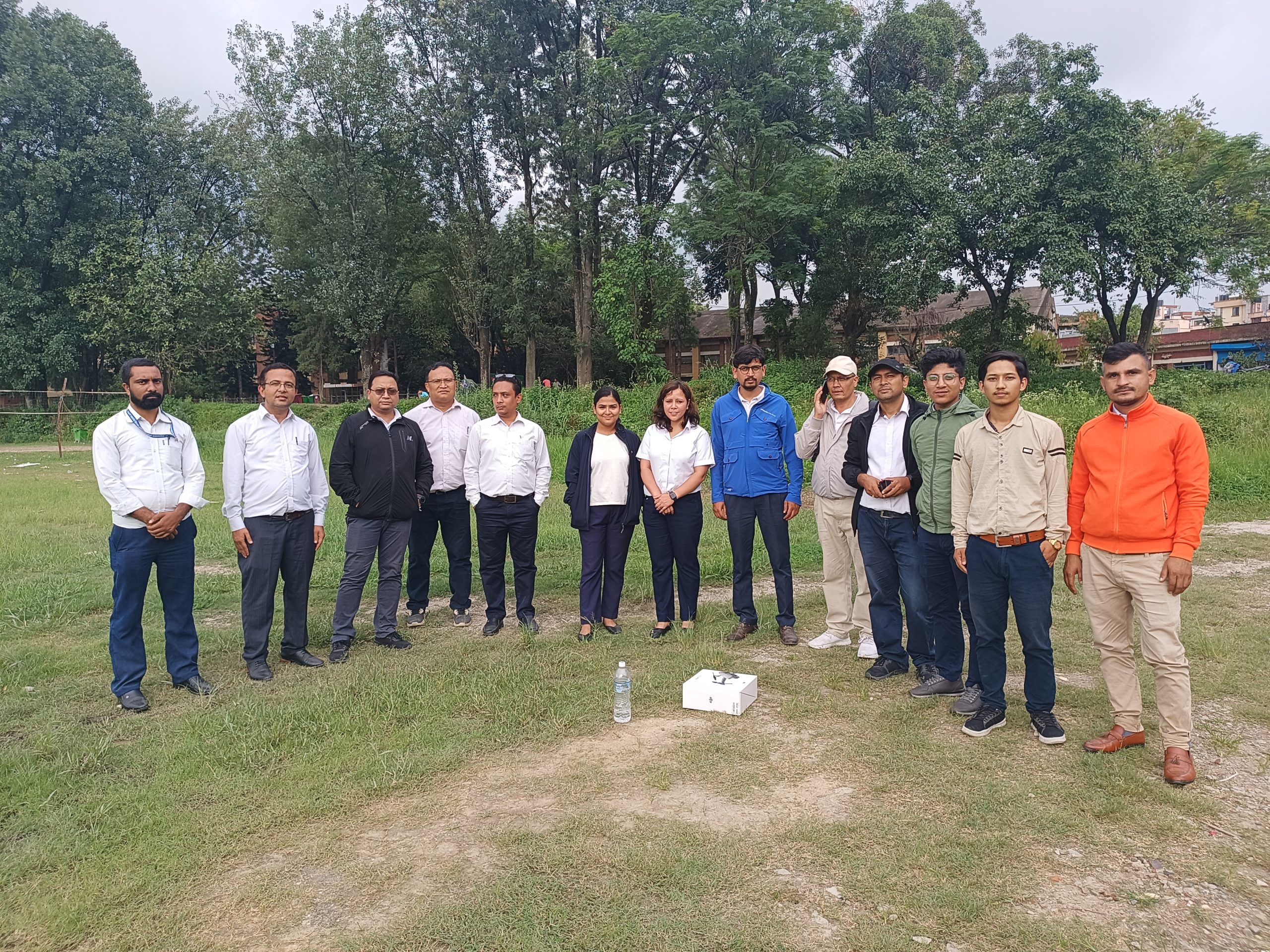
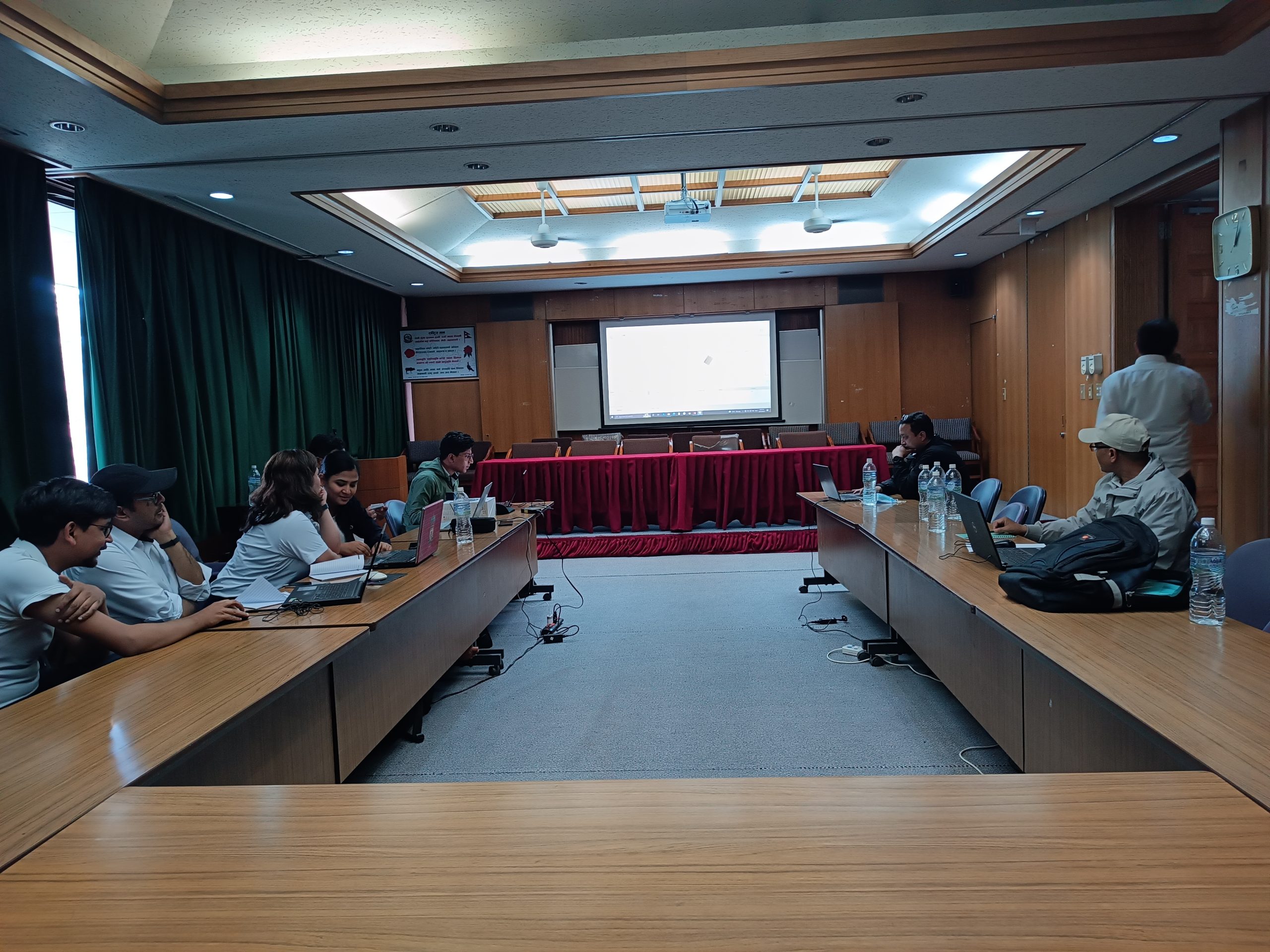
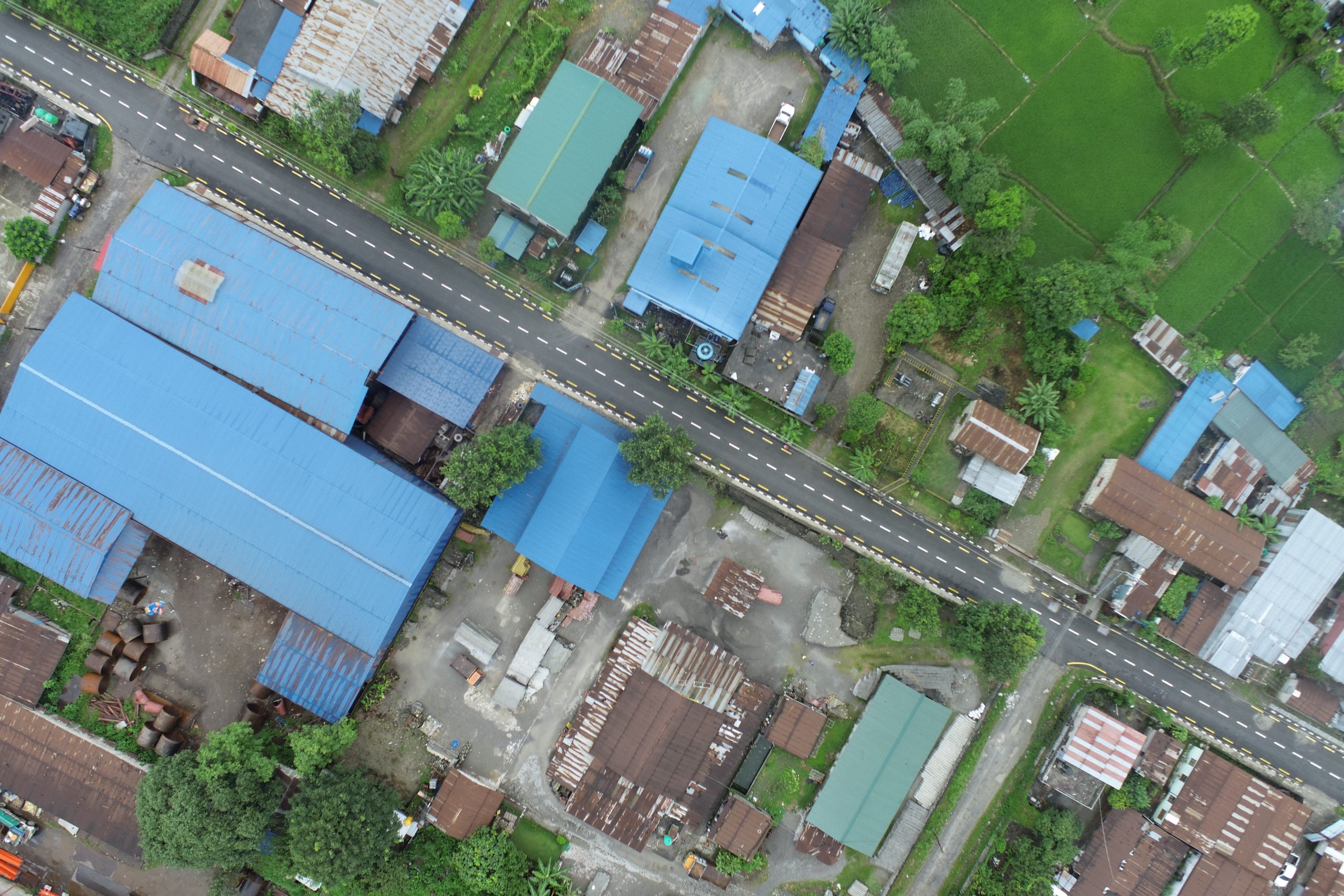
Drone pilot training for Nepal Police and WRRDC
At Geovation, we also provide drone-based data collection and analysis training to interested people from different agencies. Under these projects, the technical team conducted two days of training for the Nepal police on drone data acquisition and post-processing for disaster assessment and management.
Likewise, we also provided a two-day training for the WRRDC organization to assist them in using drones for water resource research and management.