Portfolio Type: Energy
Portfolio
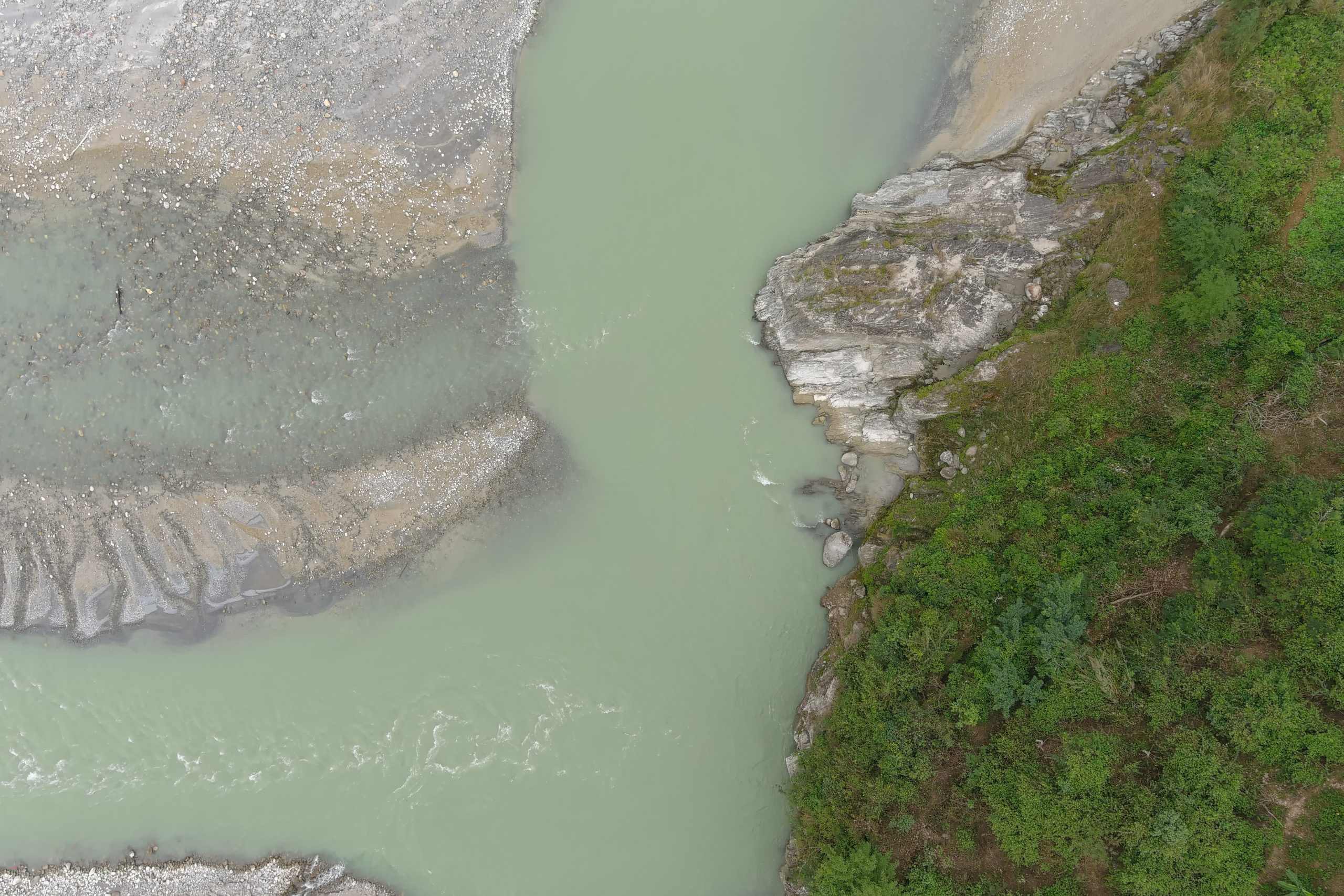
Tanahu Hydro Power
At present, we as the leading UAV service provider company are trying to facilitate UAVs in multiple domains possible. In this pursuit, we conducted the project to acquire high resolution drone based imageries to acquire data for pre feasibility study of a hydropower. High resolution orthophoto was the major output of this project. The generated outputs were used to estimate and evaluate the potential area that would be submerged due to the construction of the dam and identify the possible areas to relocate affected people to new places.