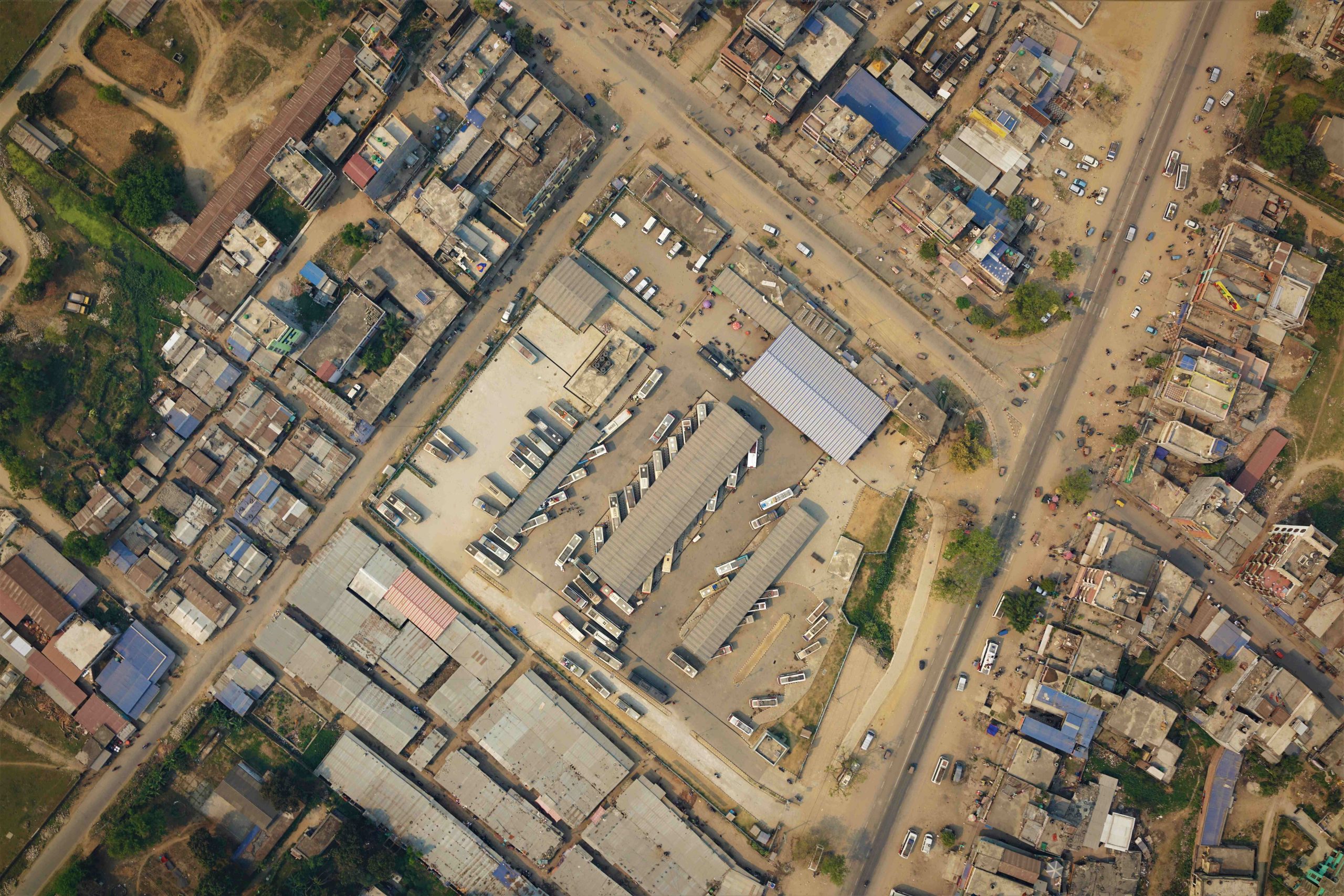
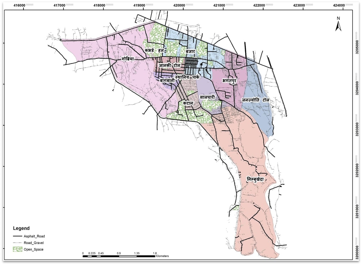
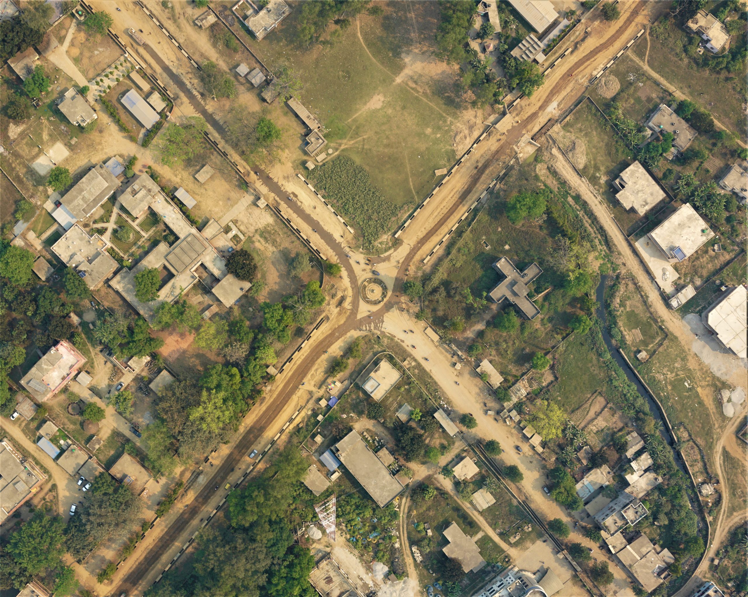
Bheemdutta drone survey and mapping
The technical team from Geovation Nepal carried out an airborne survey in two wards (Ward 04 and Ward 18) of Bhimdutta Municipality. The obtained high resolution images were used to generate a high resolution orthomosaic, Digital Elevation Models. A geodatabase that includes natural and manmade features such as building footprints, road lines, openspaces was prepared through these outputs to prepare topographic maps, Landuse maps. These results were used for house survey, humanitarian open space mapping and to identify present condition of roads within two wards.