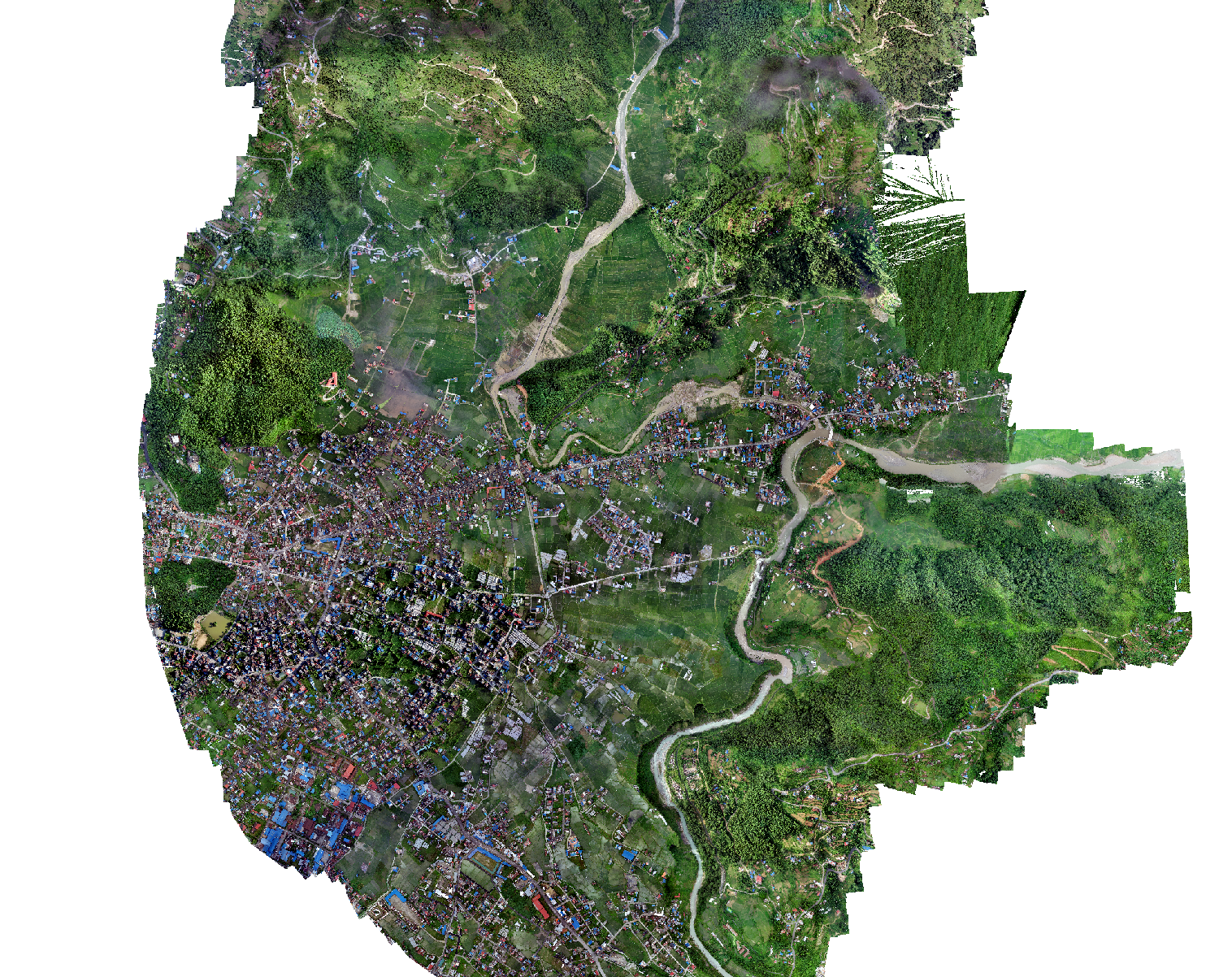
Pokhara: Drone-Based Aerial Survey for Flood Manag
Flooding has been a problem for residents near Kamalpokhari located in Ward no 13 of Pokhara for several years. The concerned authorities needed geospatial data to investigate the causes of flooding and to develop prevention strategies. The team from Geovation Nepal conducted drone based aerial surveys to collect high resolution images. The captured high resolution images were used to generate an orthomosaic and Digital Elevation Model. These generated outputs will be used to create new plans to prevent the flood that occurs during monsoon season near Kamalpokhari lake in Pokhara metropolitan city.