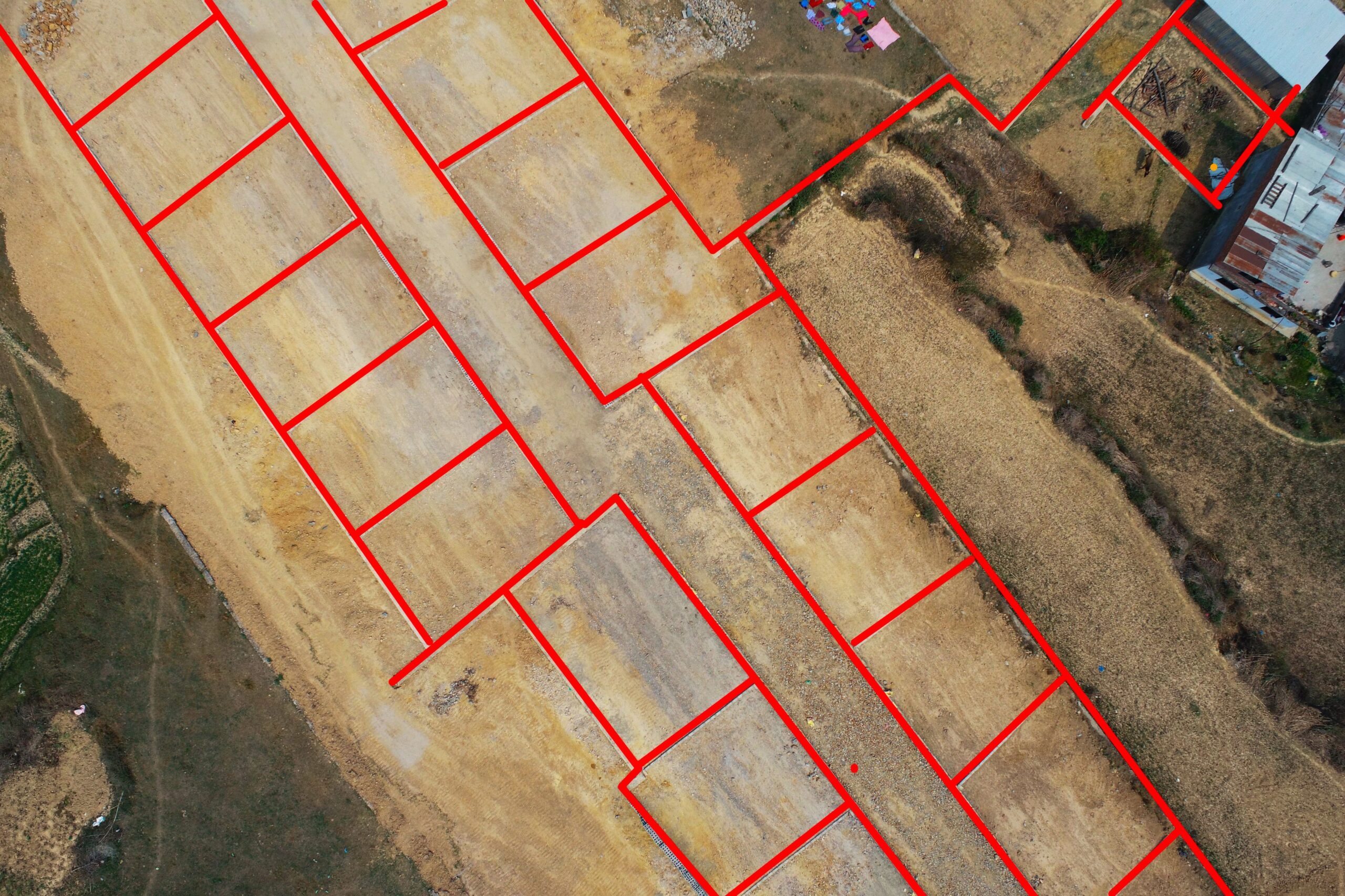
Land Planning, Lalitpur – Drone Based Survey
Lalitpur District has seen many planned infrastructure developments, for instance planned housing colonies in the last two decades due to increase in land pooling projects. People are more inclined towards well organized and planned infrastructure development. The Land pooling project was carried out in Lalitpur district. Drone based aerial survey was conducted for the site to obtain high resolution aerial imageries. These imageries were further used to generate orthomosaic, 3D Model and elevation models. These results were used for topographic feature extraction , terrain visualization and cadastral analysis.