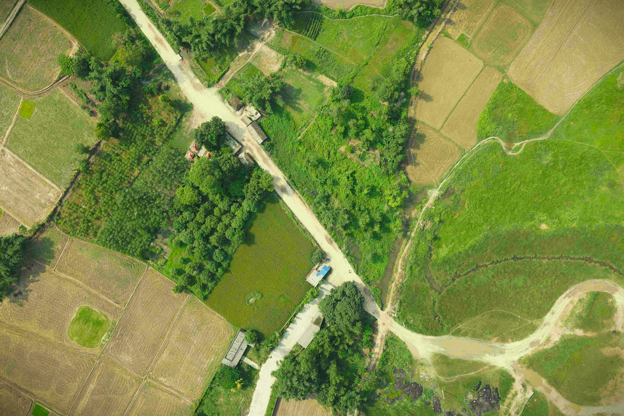
Drone based irrigation survey in Simara
The drone based aerial survey was carried out to analyze the present condition of the irrigation network and further expand the irrigation network based on the generated orthomosaic and elevation models, to make water available for all agricultural lands within the project area.