UAV-Based Survey for Uttar Ganga Hydroelectric Pro
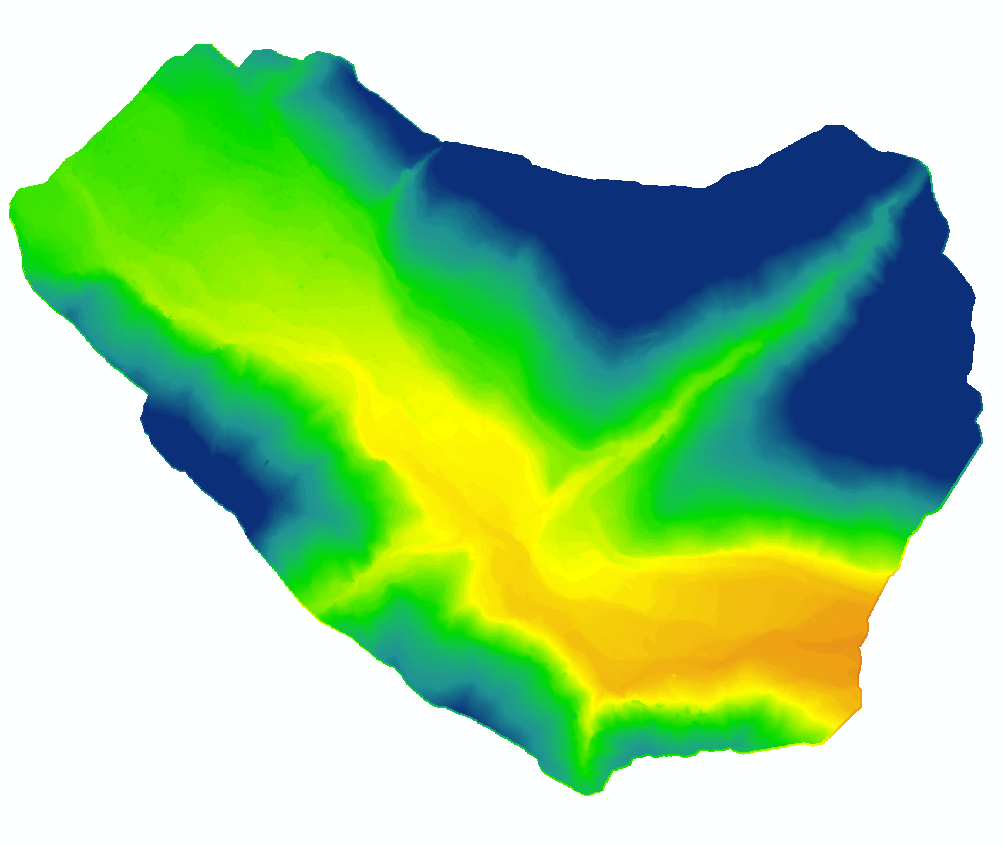
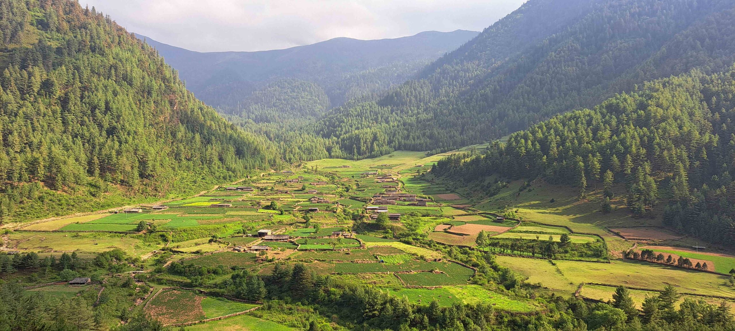
In an effort to harness sustainable energy resources, NEA Engineering initiated a drone -based survey in Baglung and Rukum Uttarganga to support hydropower and transmission line planning. Our team at Geovation Nepal collected data using advanced LiDAR technology, we generated high-resolution Digital Terrain Models (DTM), Digital Surface Models (DSM), detailed contour maps, and feature extractions.This data was used for informed decision-making, optimizing project execution, minimizing environmental impacts, and improving energy production.