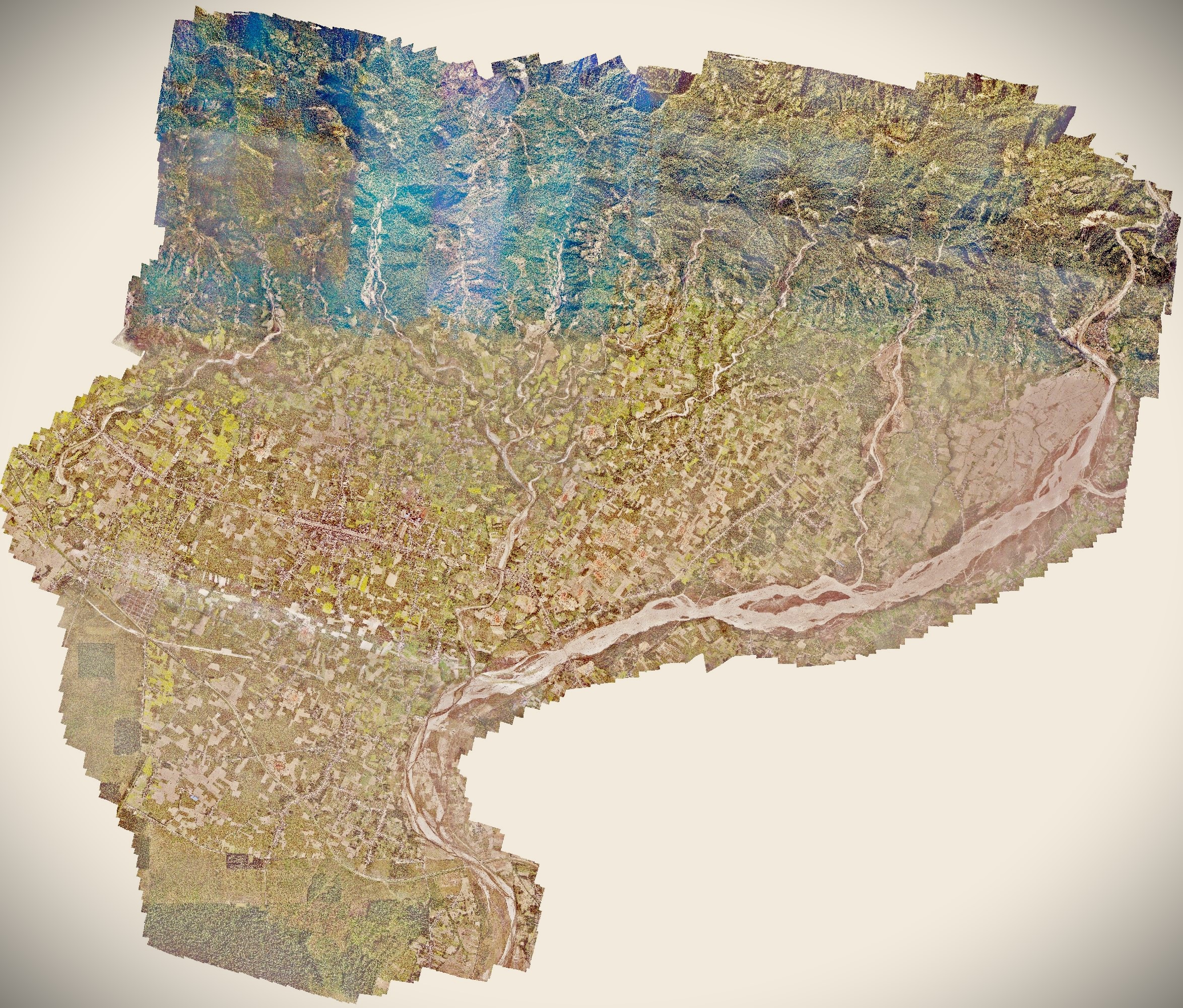
Harion municipality drone survey and mapping
The newly formed Harion municipality required spatial data to carry out overall development of infrastructures in a speedy manner. Municipality is in need of knowledge on landuse and land cover, knowing land structures, hazard risk analysis, hydrological modeling and topography and so on. Spatial data can provide a baseline data for construction works as well as emergency response analysis.
UAV based aerial survey was carried out to prepare orthomosaic and elevation models. The obtained data were georeferenced using Post Processing Kinematics (PPK) technology. These generated results will be further used for preparing geodatabase, and different thematic maps will be prepared. FInally, orthomosaic will be used as a baseline reference for further analysis and modeling.