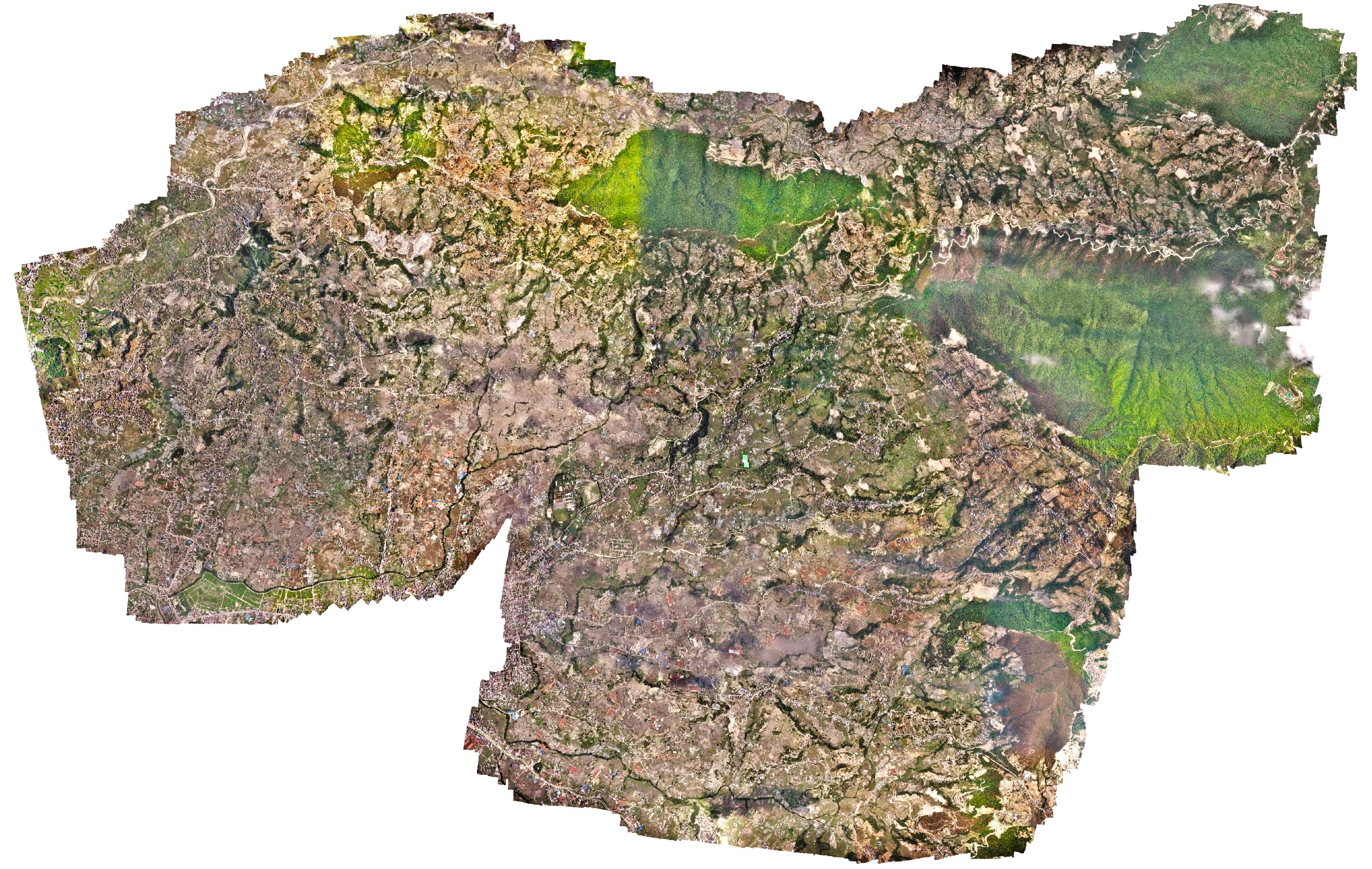
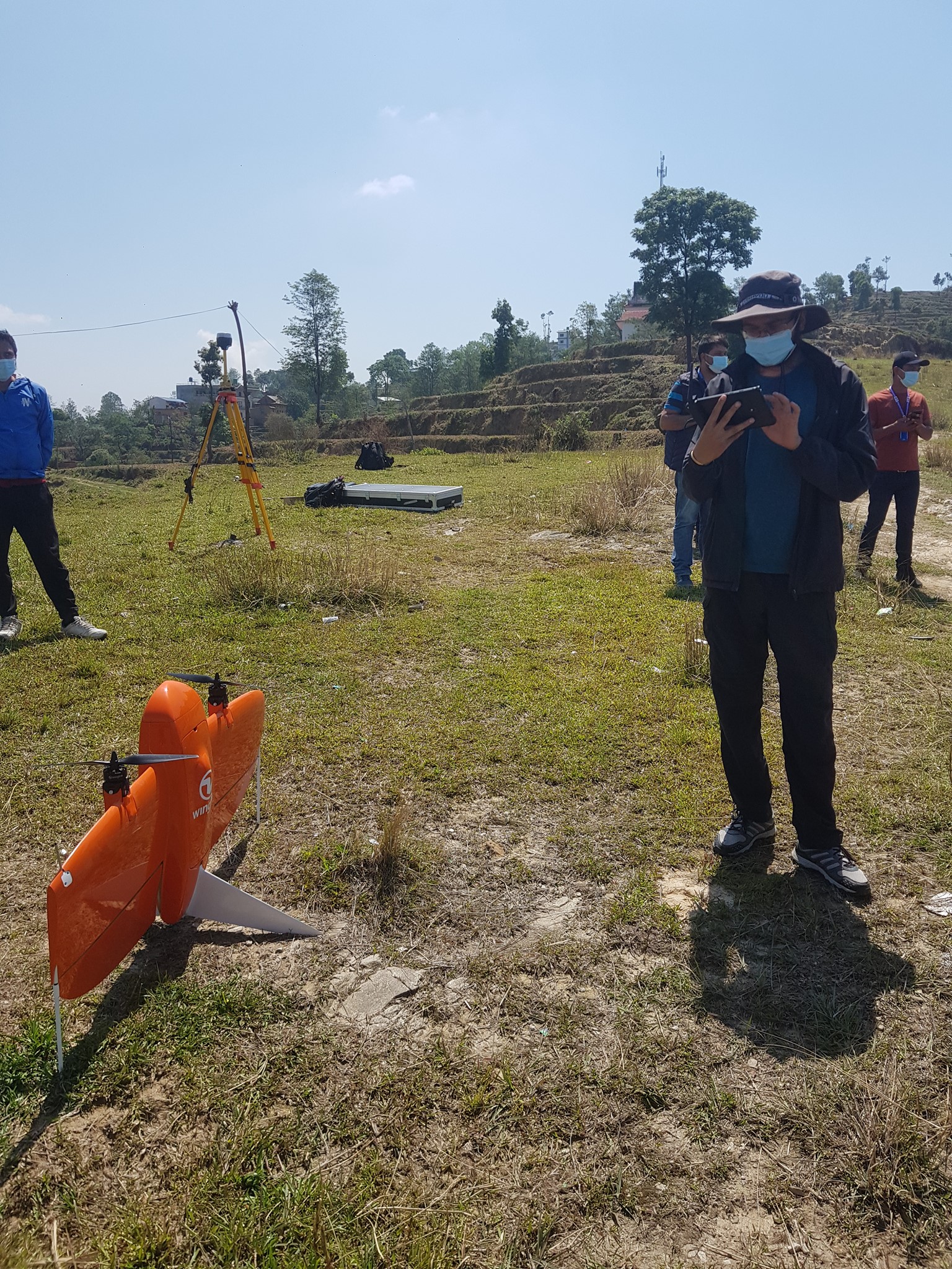
High resolution survey of an Urban municipality
Changu Narayan Municipality, an urban municipality in Kathmandu, approached Geovation to deploy our long-range drone to rapidly capture high-resolution drone images of the entire municipality. The work had to be carried out within nine days as the site was close to the airport. However, due to the ongoing COVID cases in the country, the imposed lockdown provided a limited traffic air space for easy deployment of the drones. Within 9 days, a 42-megapixel high-definition RGB sensor captured 11,000 images covering a total area of 64 square kilometers. The municipality later used those images with other tech consulting companies to generate street names and household numbers and also used them as baseline imagery in the open data portal.