Melamchi Road Segment: UAV Based Aerial Photogramm
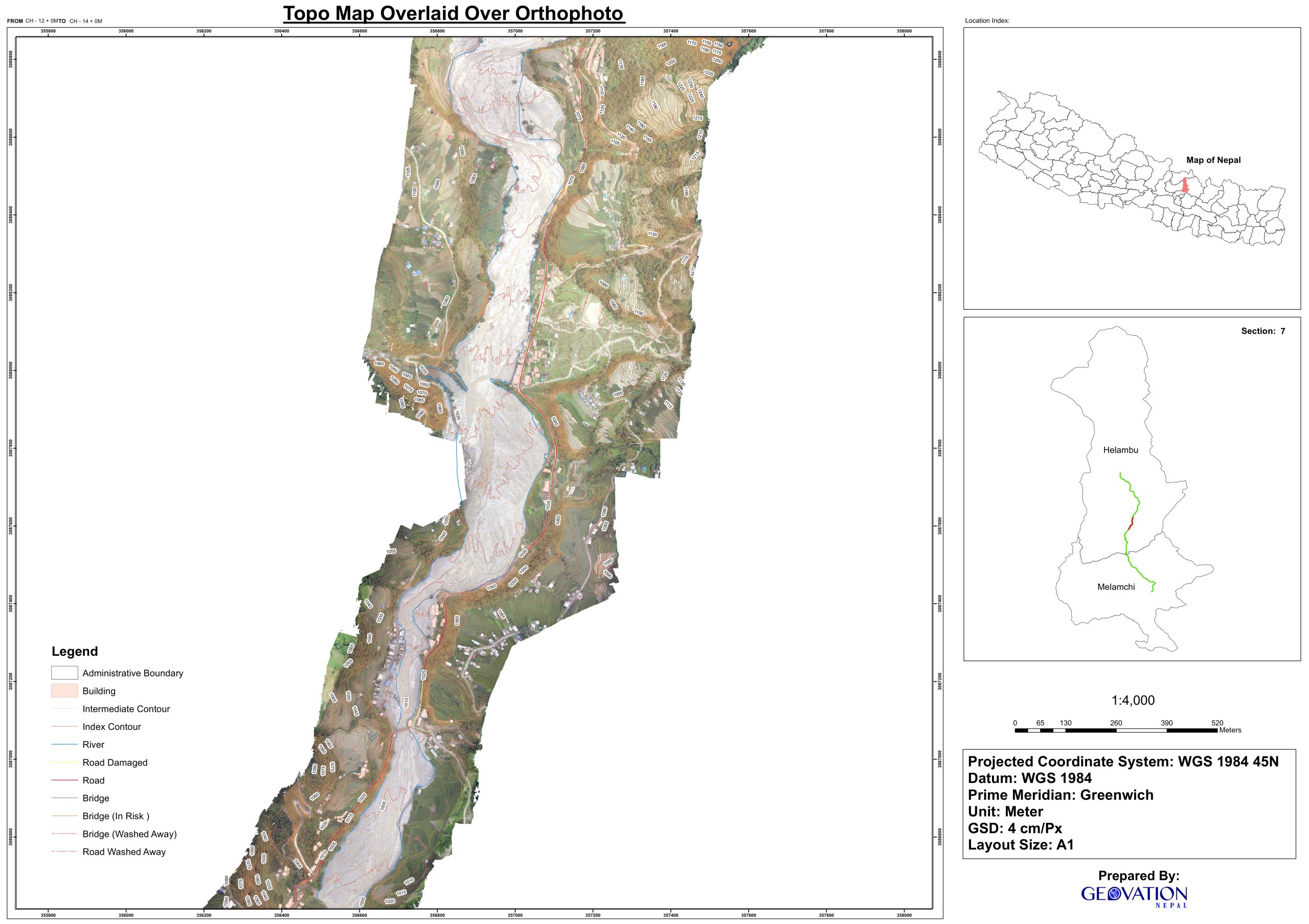
The disastrous flood of melamchi in the monsoon season of 2021 claimed hundreds of human lifes and thousands of people became homeless. The natural disaster not only affected many infrastructure but completely wiped them away. Concrete buildings, multiple bridges, drinking water supply network as well as electricity were affected as a whole. Mainly the road section joining melamchi pul bazar and melamchi drinking water project headworks was completely washed out. A drone based aerial survey was carried to obtain high resolution images to obtain detailed orthomosaic, precise digital elevation models and 3d models. Further these results were used to prepare topographic maps, profile and cross sections were also generated. These outputs were further converted to CAD format for creating designs for new roads.