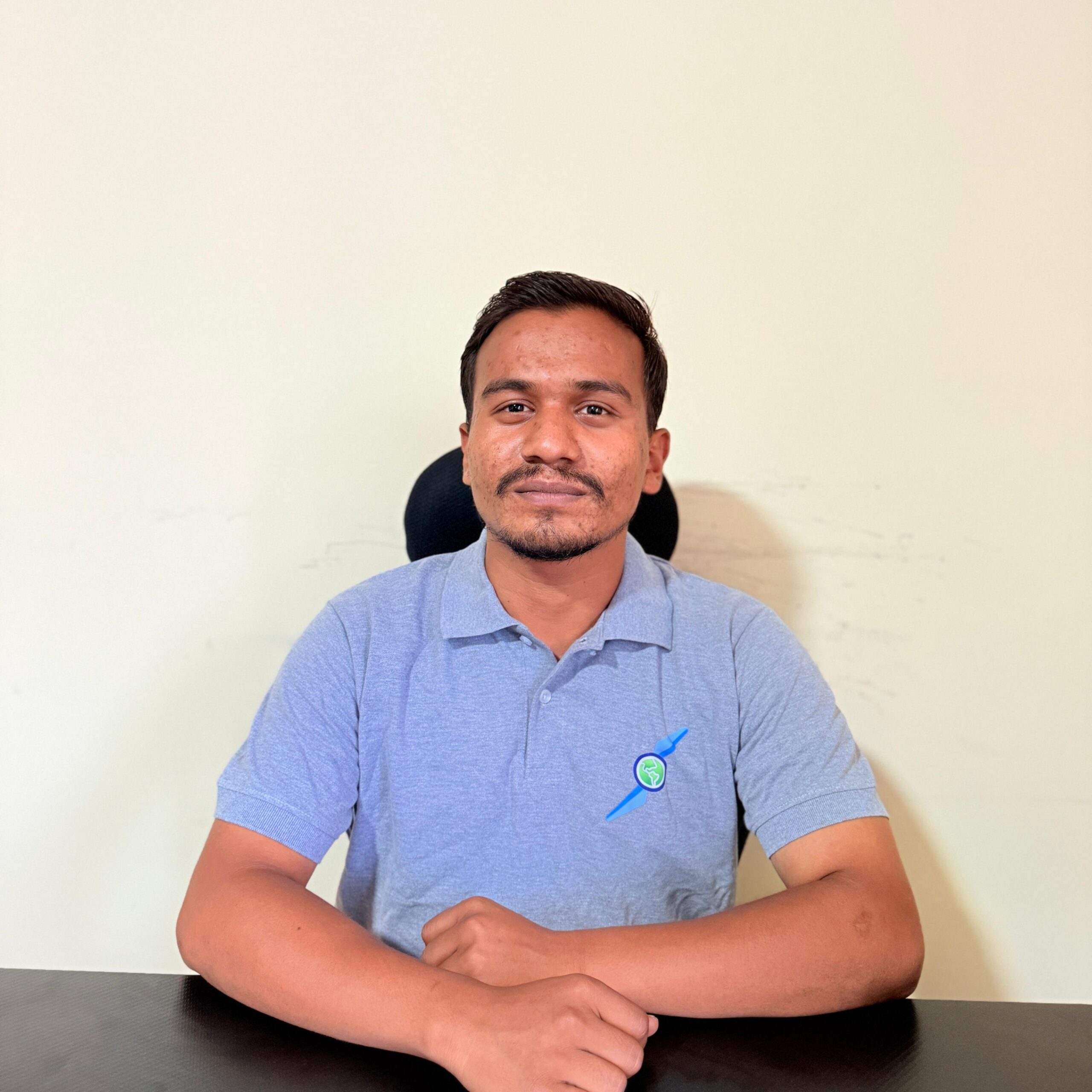
Santosh Budhathoki
Surveyor
Santosh Budhathoki is a Surveyor and trained UAV Operator at Geovation Nepal Pvt. Ltd., currently pursuing a degree in Geomatics Engineering at Kathmandu University. He focuses on UAV data acquisition and GIS analysis, with hands-on experience in tools like Pix4Dmapper, DroneDeploy, ArcGIS, QGIS, Agisoft Metashape, Trimble Business Center, WingtraHub, AutoCAD, and Leica software. His technical expertise supports efficient field-to-office data workflows for high-precision geospatial projects.
In addition to his technical skills, Santosh has demonstrated strong leadership and teamwork through his involvement in the Rotaract Club as Public Image Co-Chair and as President of the Red Cross Society. He also has a foundational knowledge of Java and Python, which aids in streamlining geospatial processes. Passionate about innovation and collaboration, he is committed to delivering quality solutions in the drone and GIS domain.
